I’m working on an AI for a territory capture game like Paper.io or splix.io where players need to draw paths around empty areas to claim them. My AI needs to figure out which empty spaces are worth capturing and find the best route to enclose them.
In my game world, I have a 2D grid where some cells are already owned (marked as occupied) and others are empty (available for capture). The AI should identify promising empty regions and calculate the optimal boundary points to visit in order to create an enclosing path around these areas.
Basically I need to solve this problem: given a grid with owned and unowned cells, how can I find the most efficient path that surrounds the largest possible empty area?
I’m thinking maybe boundary detection algorithms or pathfinding techniques could work here. Has anyone implemented something similar for territory-based games? What approach would give the best balance between captured area size and path length?
I built something similar for a multiplayer territory game a few years back. Treat it like a modified convex hull problem mixed with risk assessment. Don’t just find the shortest path - weight each potential enclosure by its risk vs reward. Here’s what worked for me: Use flood fill to identify clusters of empty cells. For each cluster, calculate multiple enclosing polygons at different distances from the boundary. Score each polygon based on area gained vs path length and how exposed you’ll be to enemy interference. For pathfinding, I used A* with a custom heuristic that penalized paths near enemy territory and rewarded capturing multiple small regions in one move. The biggest performance boost came from pre-computing safe corridors back to your territory - only consider enclosures with viable escape routes. One game-changer was adding a lookahead system that predicted opponent moves during your enclosure attempt. This stopped the AI from going for risky large captures when smaller guaranteed ones were available.
This is more of a data processing pipeline problem than pure algorithm work.
You need real-time grid analysis, constant evaluation of capture opportunities, and dynamic path optimization. Coding all this from scratch gets messy quick, especially with multiple players or changing conditions.
I’ve tackled similar spatial problems with automated workflows that handle each piece:
Grid parsing and empty region detection
Area scoring by size and accessibility
Risk assessment using proximity to enemy territory
Path generation with fallback options
Real-time recalculation when things change
You can test different scoring algorithms, swap pathfinding methods, or add new data sources without rewriting your game logic. Just modify the workflow.
For territory games, I break it into parallel processes - one finds opportunities, another calculates paths, a third does risk analysis. Then combine with weighted scoring.
This multi-step automation is what Latenode’s built for. You can build the whole pipeline visually and iterate without touching code.
Been down this rabbit hole before working on a similar game mechanic. You’re dealing with two separate optimization problems that need to work together.
First: identifying valuable territories. I use a modified watershed algorithm to segment empty space into natural regions. Then score each region - area divided by perimeter squared gives you the best area to exposure ratio.
Second: actual path optimization. Most people mess up here trying to find the perfect mathematical solution. You want something fast that handles edge cases.
I went with a hybrid approach. Start with simple polygon approximation around your target region, then use dynamic programming to optimize the path while respecting game constraints like movement speed and enemy positions.
Real trick is adding penalties for paths that cross near enemy territory or leave you exposed too long. Weight scoring heavily toward survival over maximum area capture.
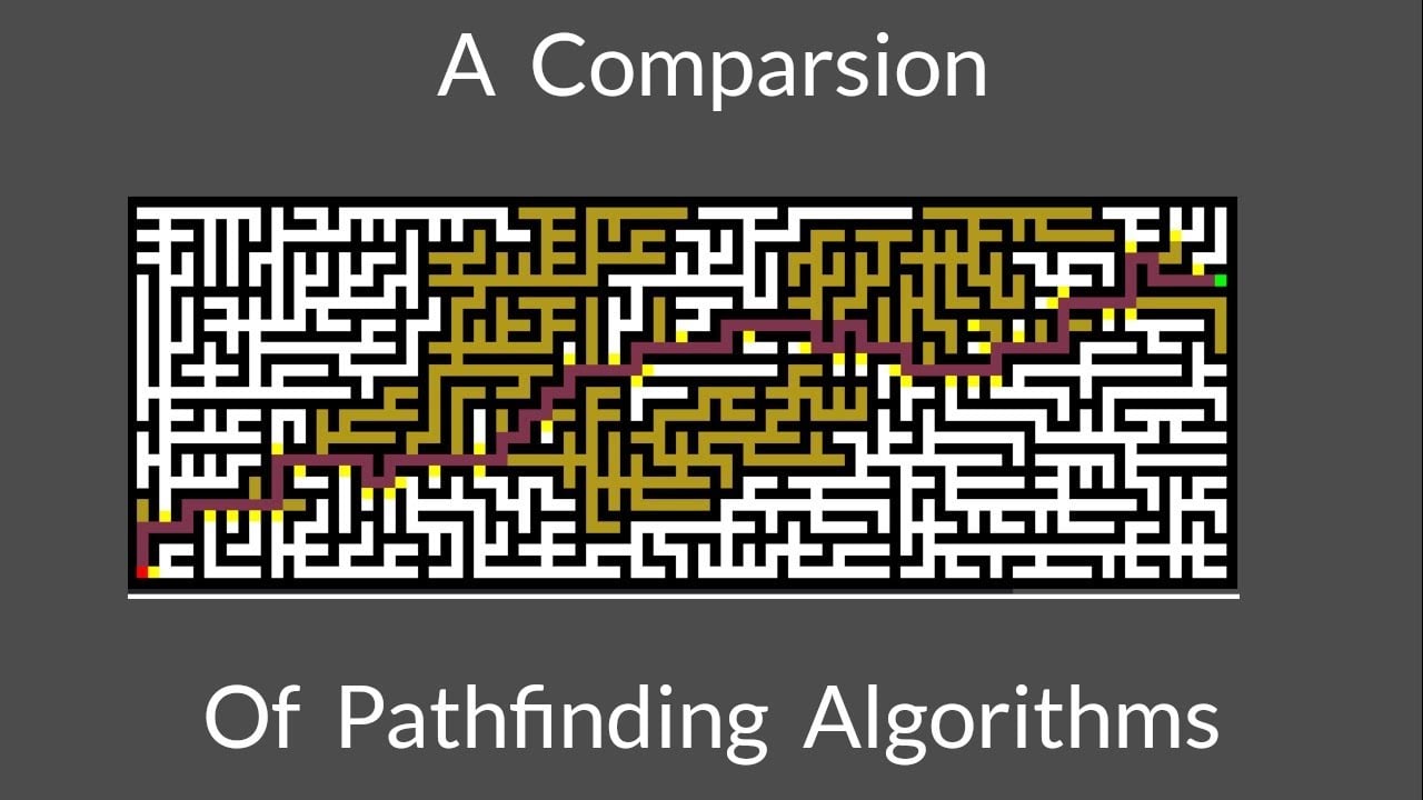
This video breaks down different algorithms and their performance trade-offs really well:
One more thing - always include a bail-out mechanism. If conditions change mid-capture, your AI needs to abort and get back to safe territory fast.